Current stories from a unique perspective of how Geomapic aerial imagery and data solutions are changing the way businesses work.
Case Studies: Drone Aerial Photography for Tree Counting
Discover how our drone aerial photography and advanced tree counting services empowered a leading conglomerate to accurately assess and manage mature trees across multiple estates in Sarawak, streamlining replanting strategies and enhancing agricultural efficiency.
2024-04-03 • Real Estate Industry
Case Studies: Data Outsource Solutions
Learn how our tailored data sourcing, cleaning, and validation services adeptly managed over 30,000 records for a prominent Data Aggregation Company, ensuring accuracy through advanced verification methods and strategic team organization for optimal data integrity
2024-04-03 • Real Estate Industry
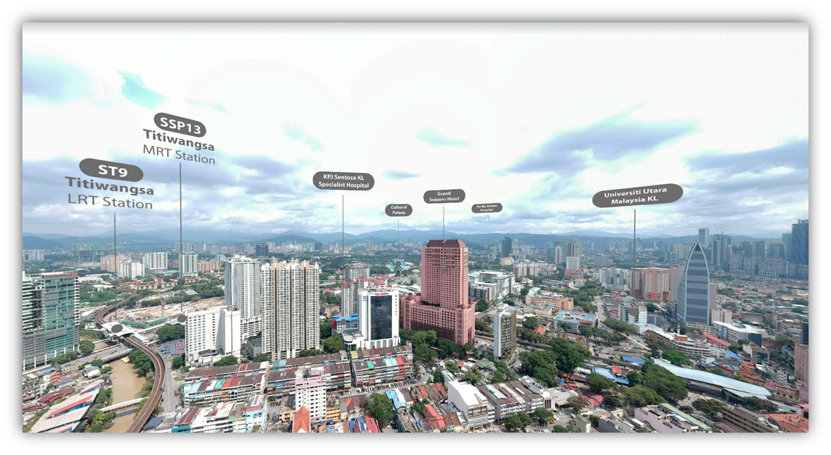
Case Studies: Drone Aerial Photography & Satellite Imagery
Explore how our innovative combination of drone aerial photography, data sourcing, and GIS mapping revolutionized the way a Real Estate Data Aggregator captures and validates development progress across Malaysia, enhancing pitches with over 1,000 detailed construction updates and HD panoramic imagery.
2024-04-03 • Real Estate Industry
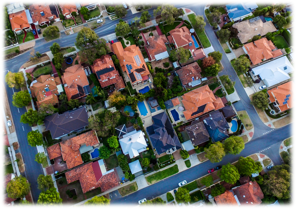
Case Studies: Real Estate Outsource & Mapping Services
Discover how our list building and parcel mapping services enhanced a real estate company's portal with up-to-date, accurate property details, leveraging manual data extraction and rigorous QC processes to navigate vast backlogs and improve data quality for users.
2024-04-03 • Real Estate Industry
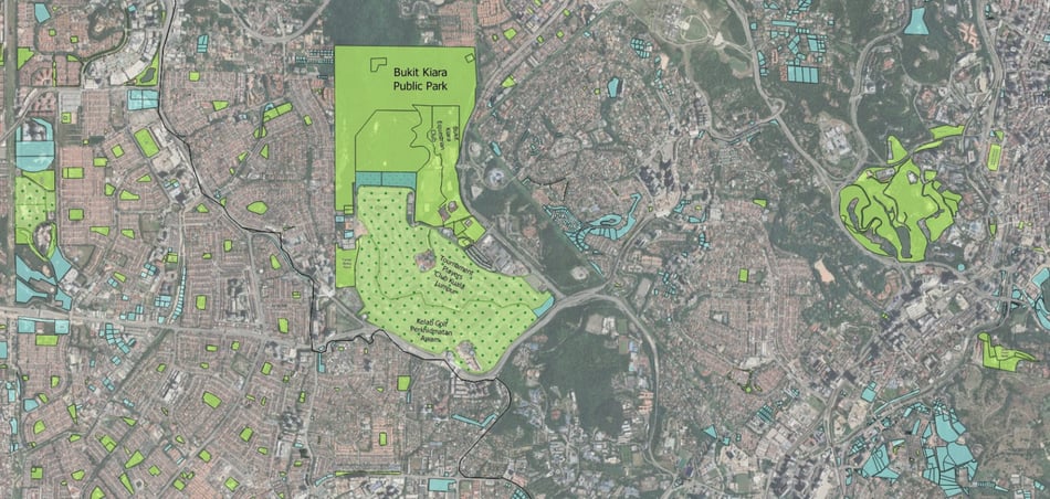
GIS and Urban Environmental Planning: Assessing and Managing Green Spaces
Explore the transformative role of GIS in urban environmental planning for the sustainable management of green spaces. This article delves into how GIS technology aids in mapping, assessing environmental quality, analyzing urban heat islands, optimizing green space placement, engaging stakeholders, and monitoring urban greenery to foster biodiversity, mitigate climate impacts, and enhance urban livability.
2024-04-03 • GIS Mapping
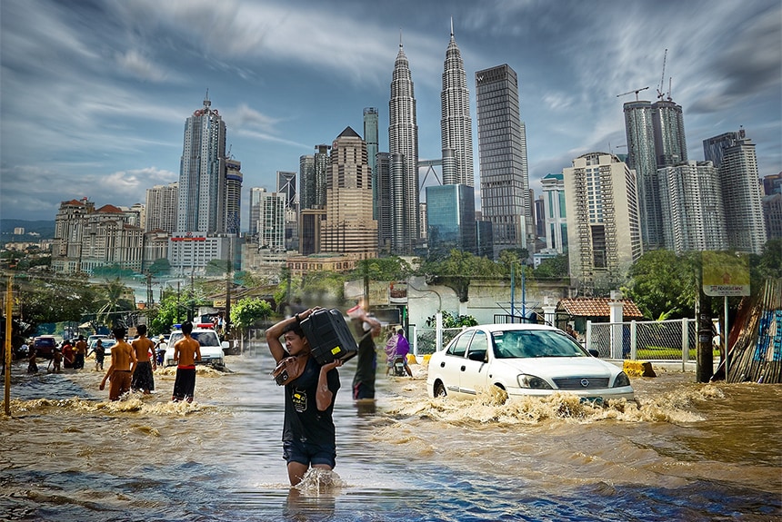
The Future of Flood Mapping in Malaysia: Harnessing Technology for Improved Resilience
Explore the evolution and future of flood mapping in Malaysia, highlighting the impact of advanced technologies like remote sensing, GIS, and machine learning on disaster management. This article delves into how these tools are revolutionizing flood preparedness, offering real-time data and predictive models for better planning, resilience, and response to the increasing flood risks posed by climate change.
2024-04-03 • GIS Mapping
Show more
Be inspired by the latest geospatial trends and discover new techniques.
Discovering location intelligence, one layer at a time.